Environment
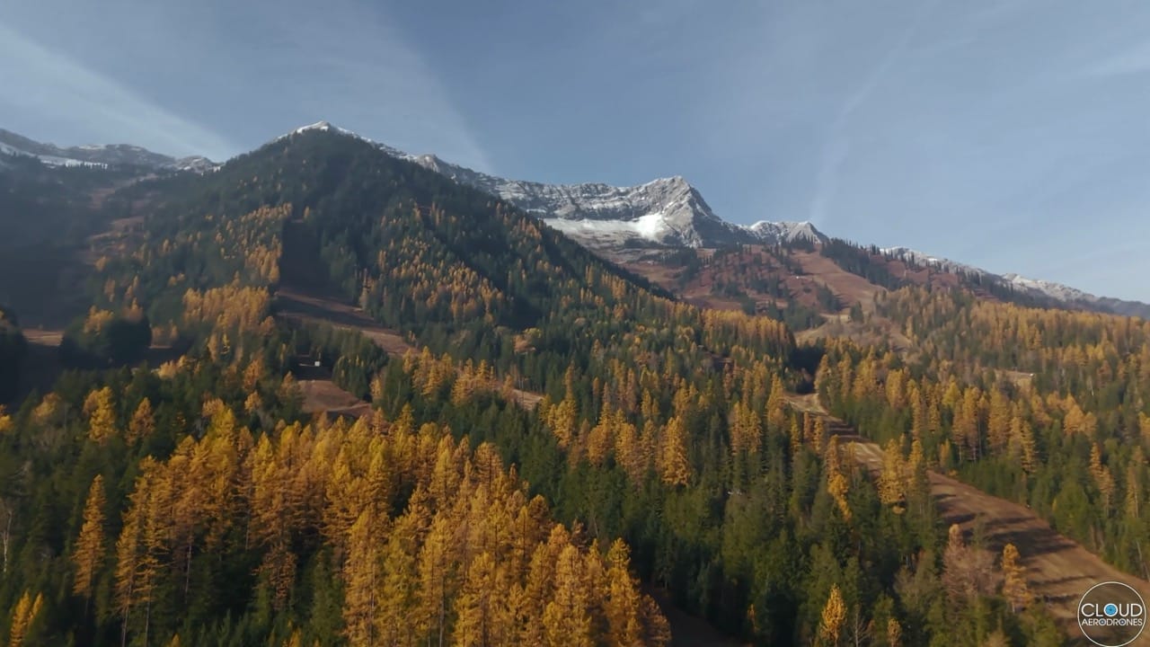
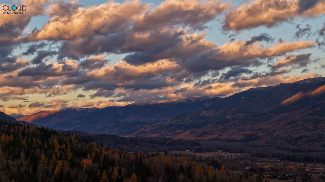
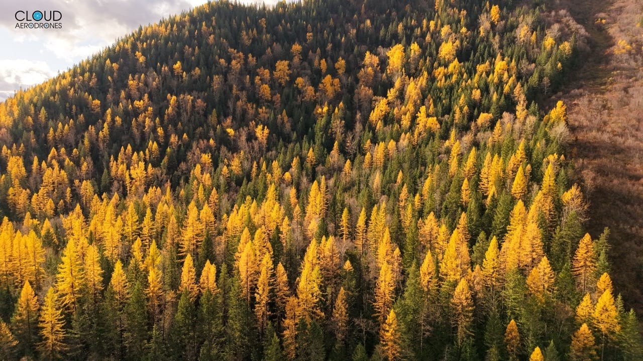
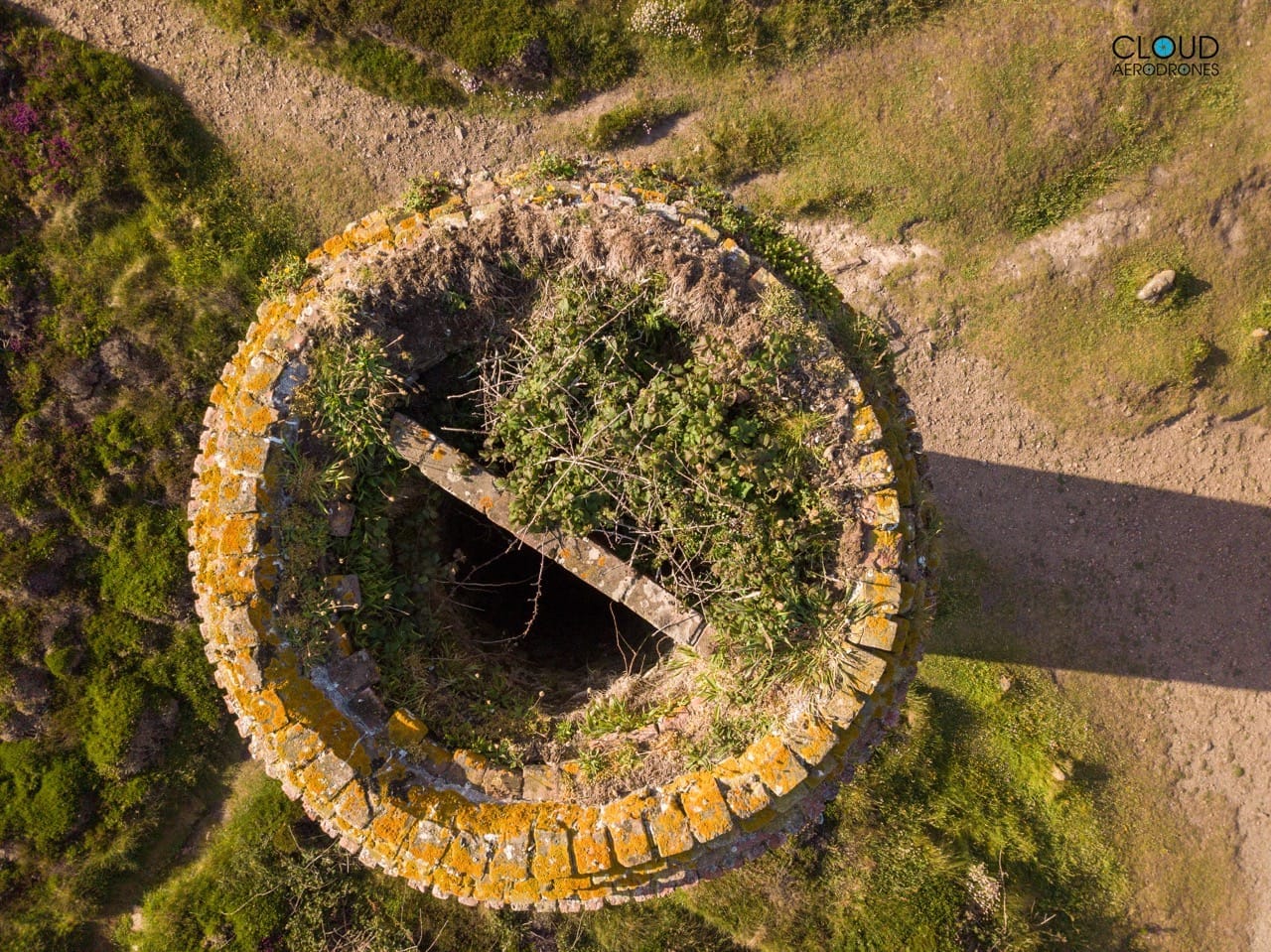
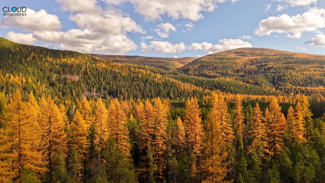
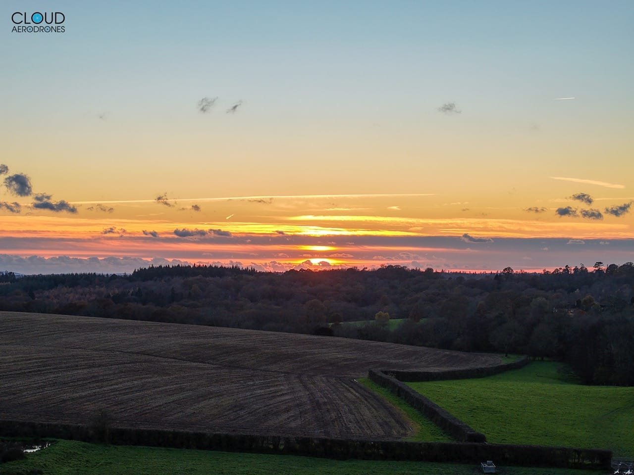
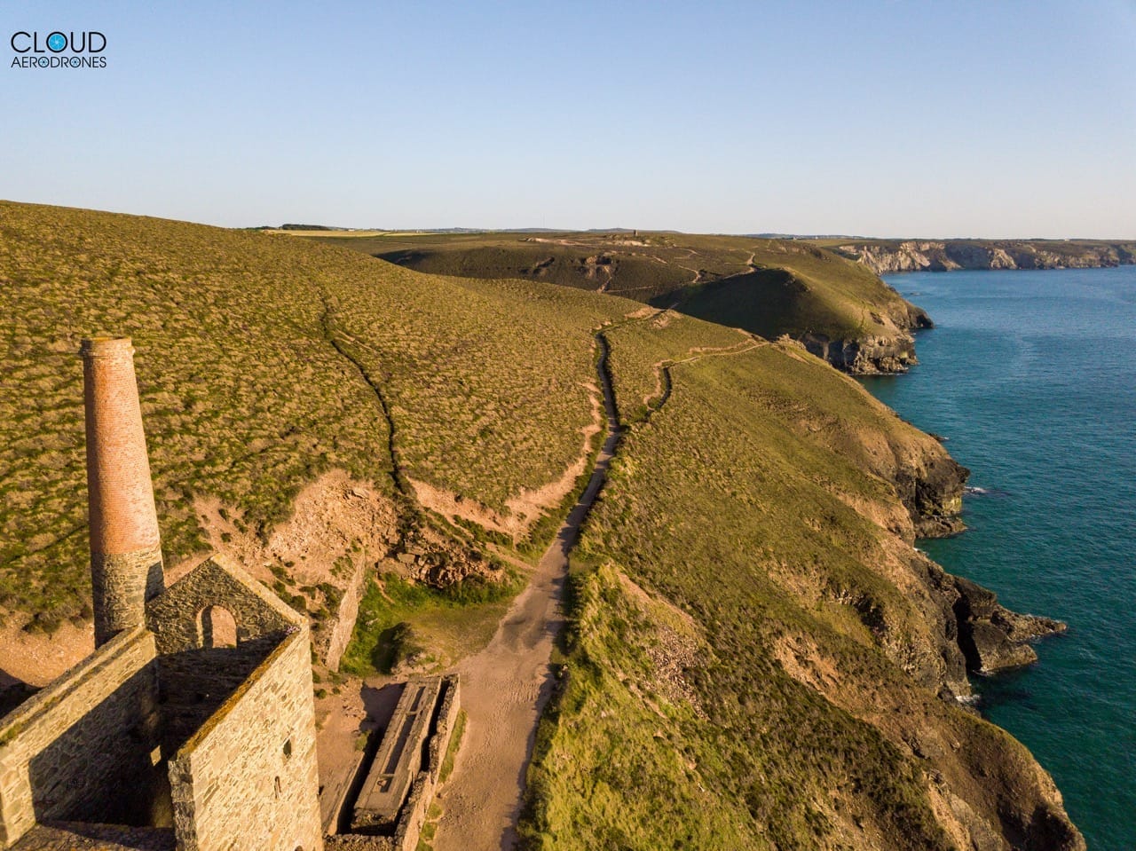
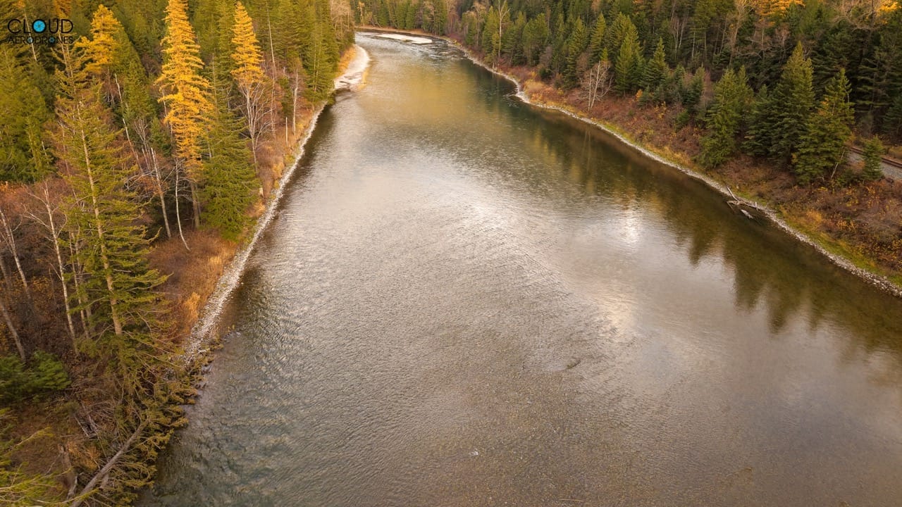
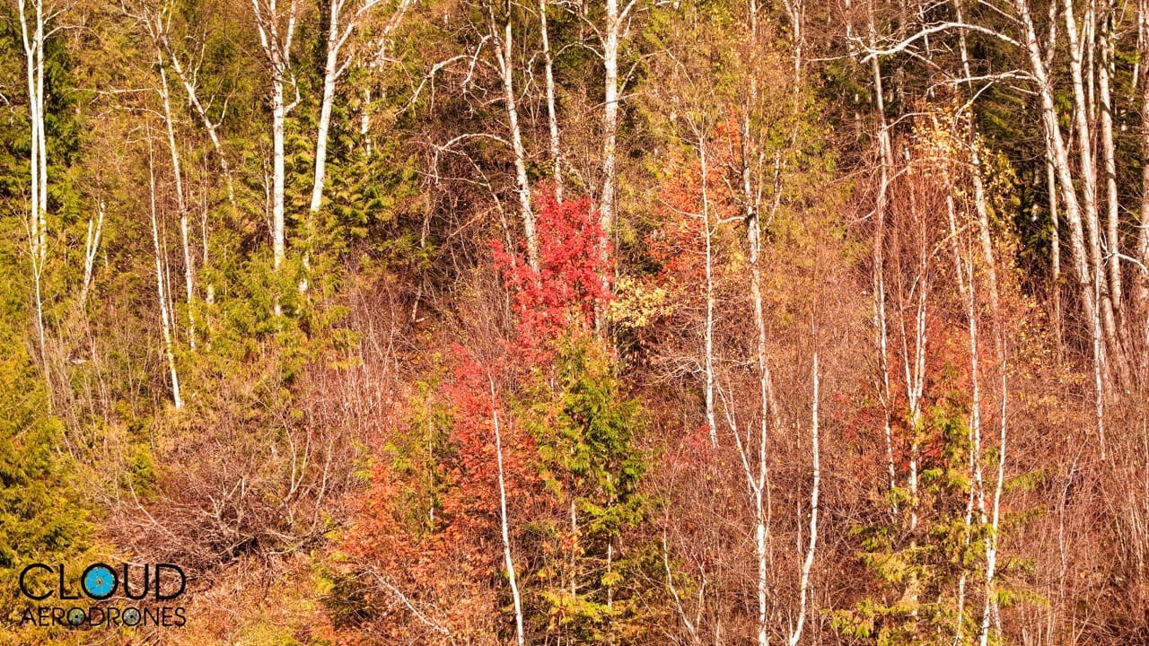
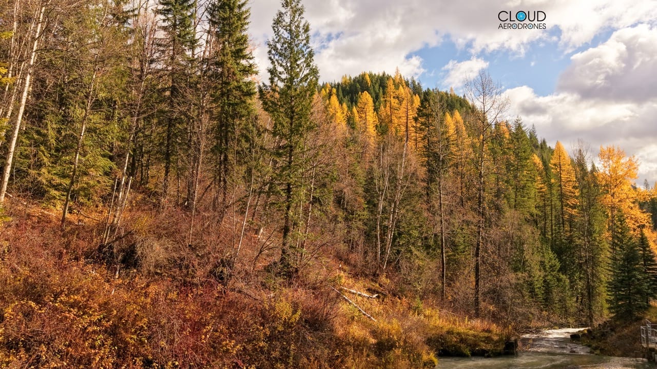
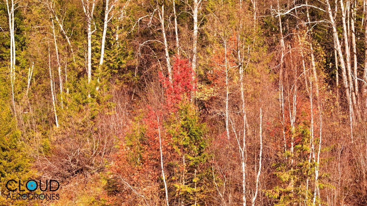
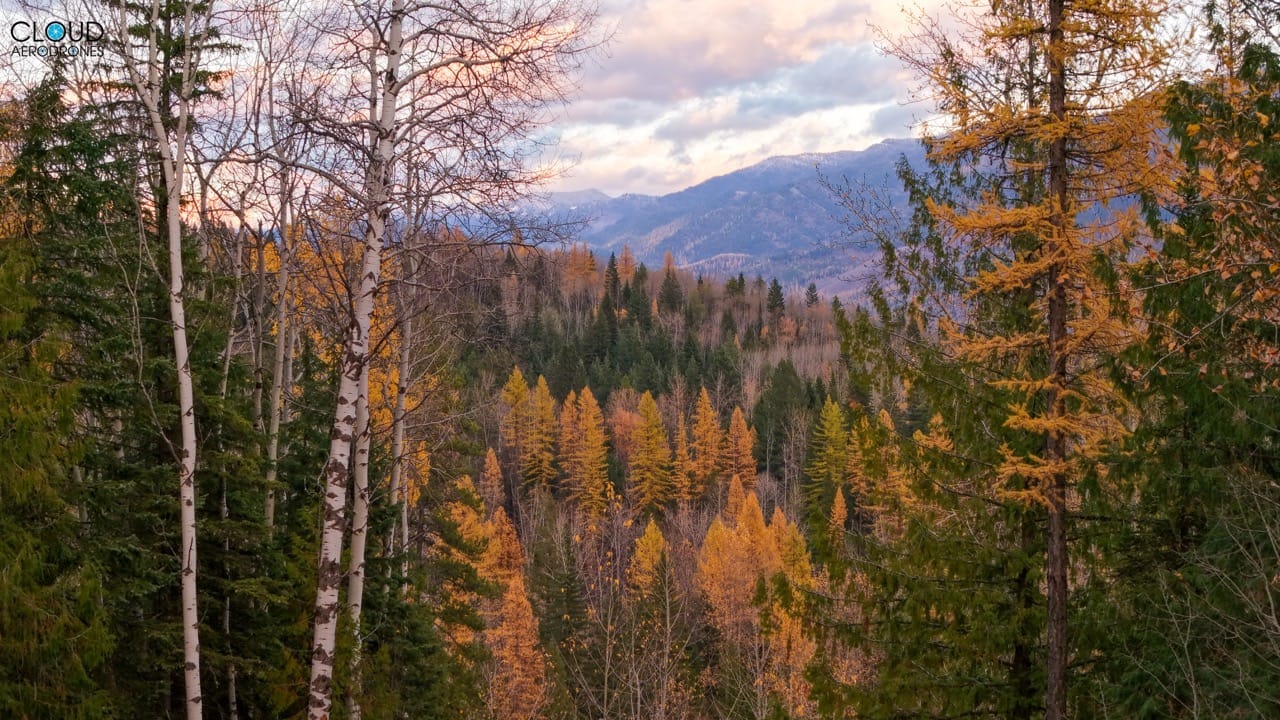
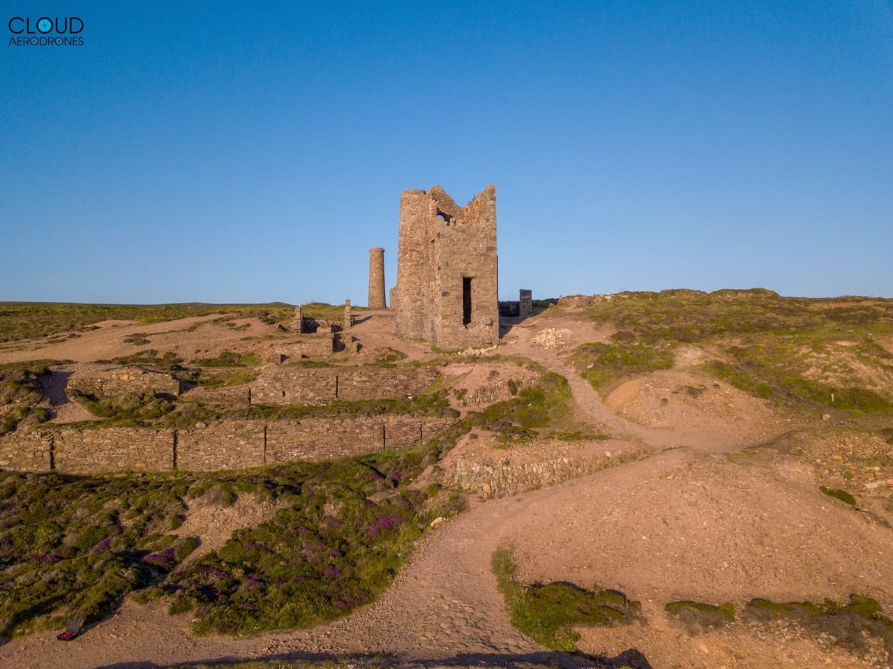
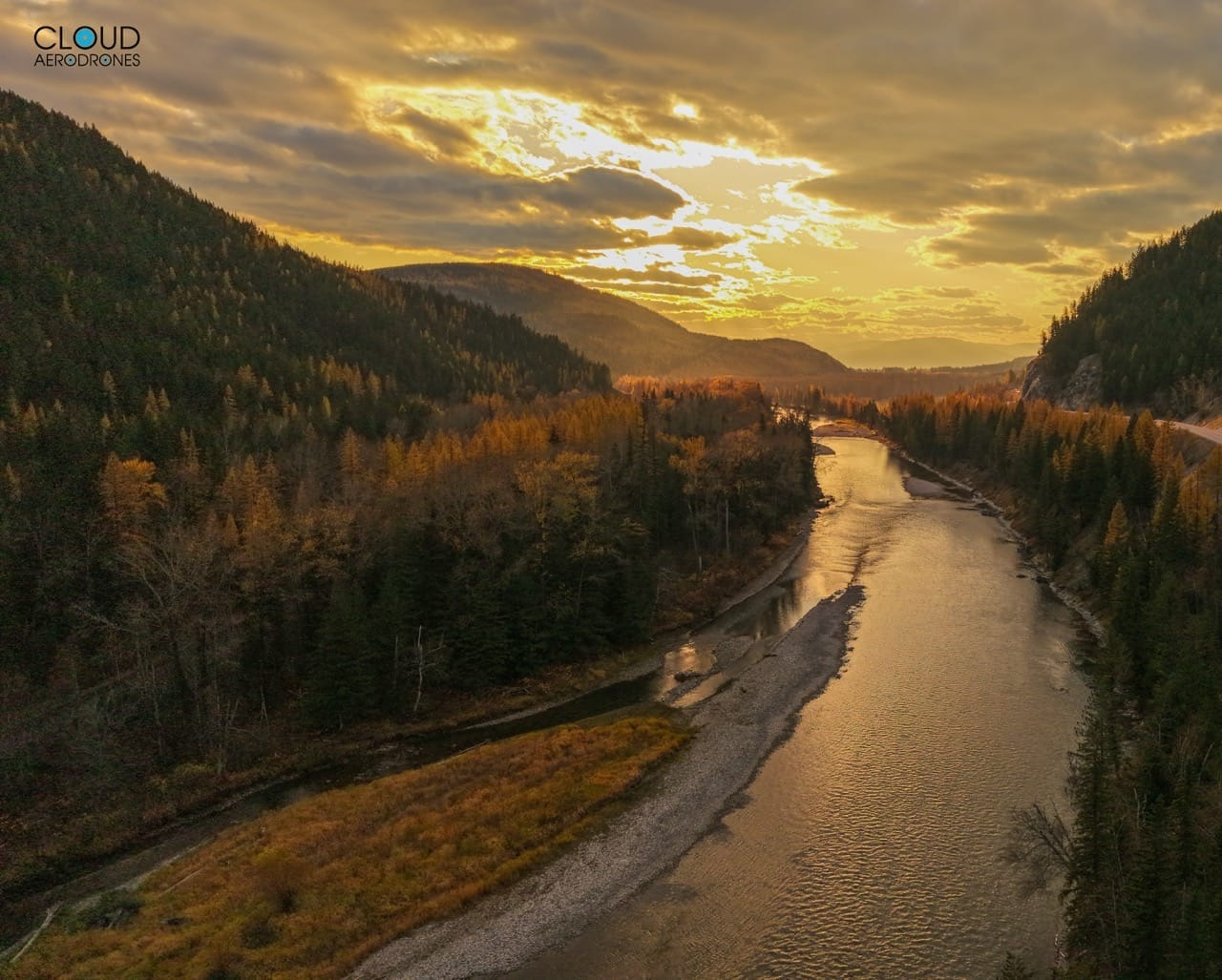
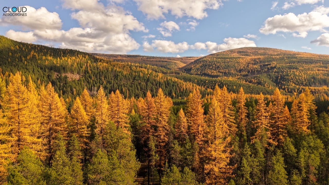
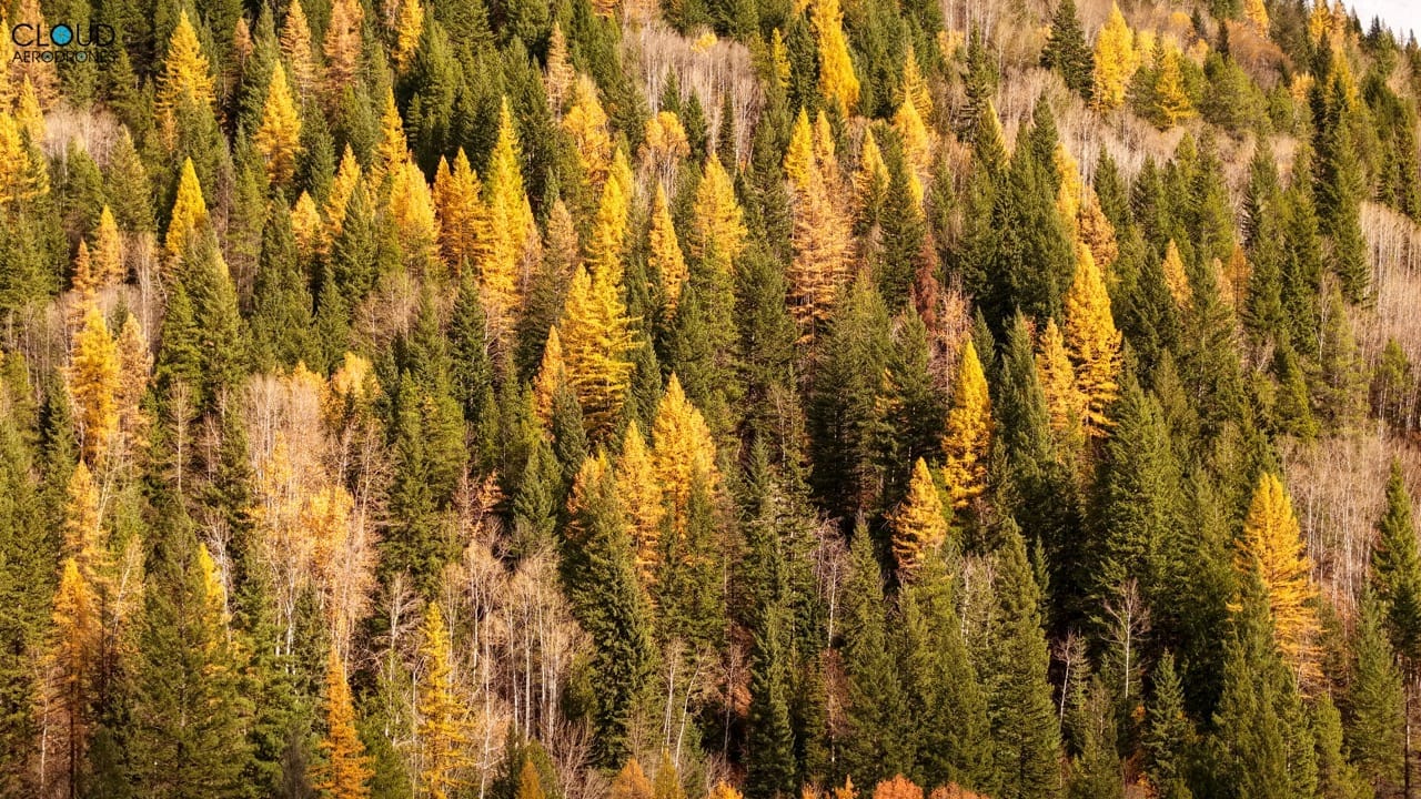
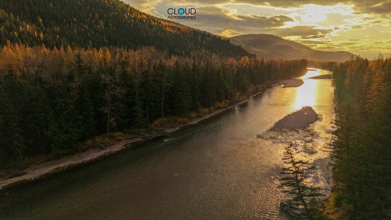
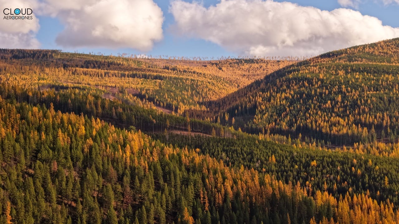
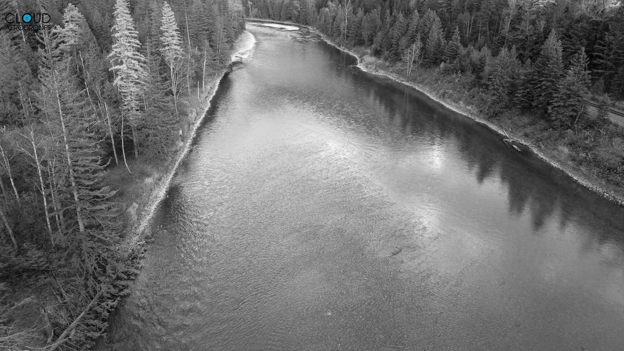
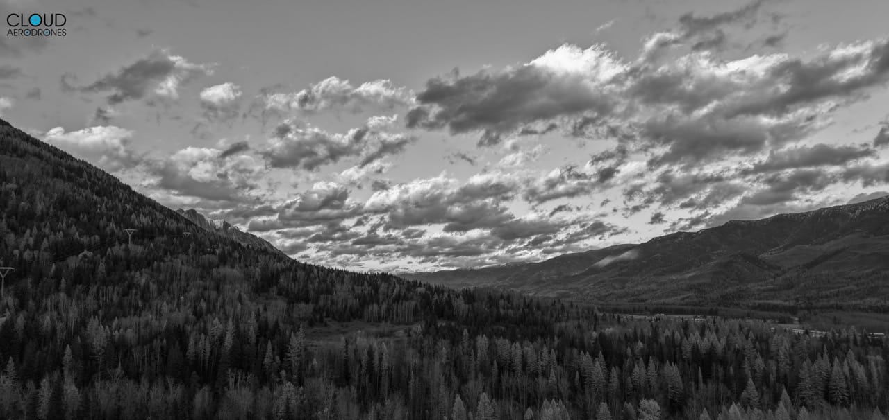
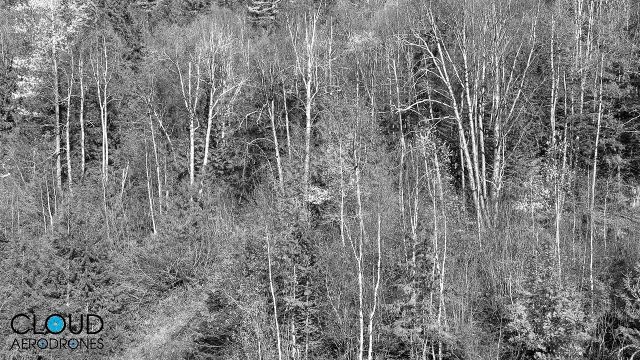
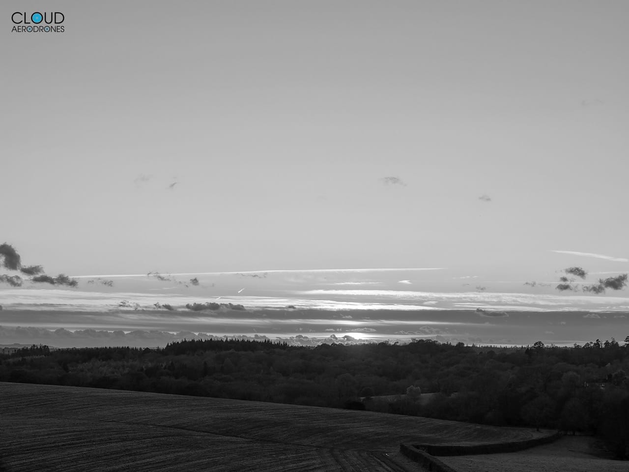
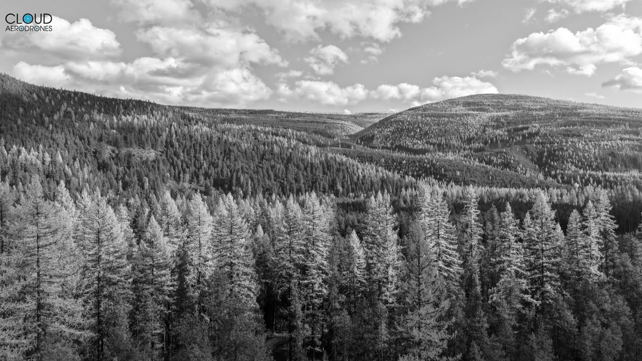
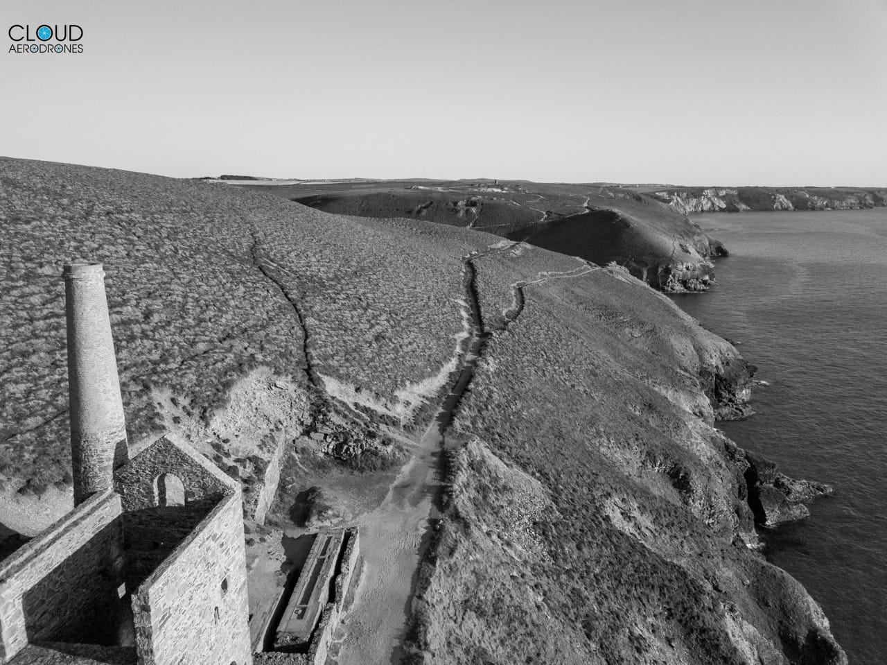
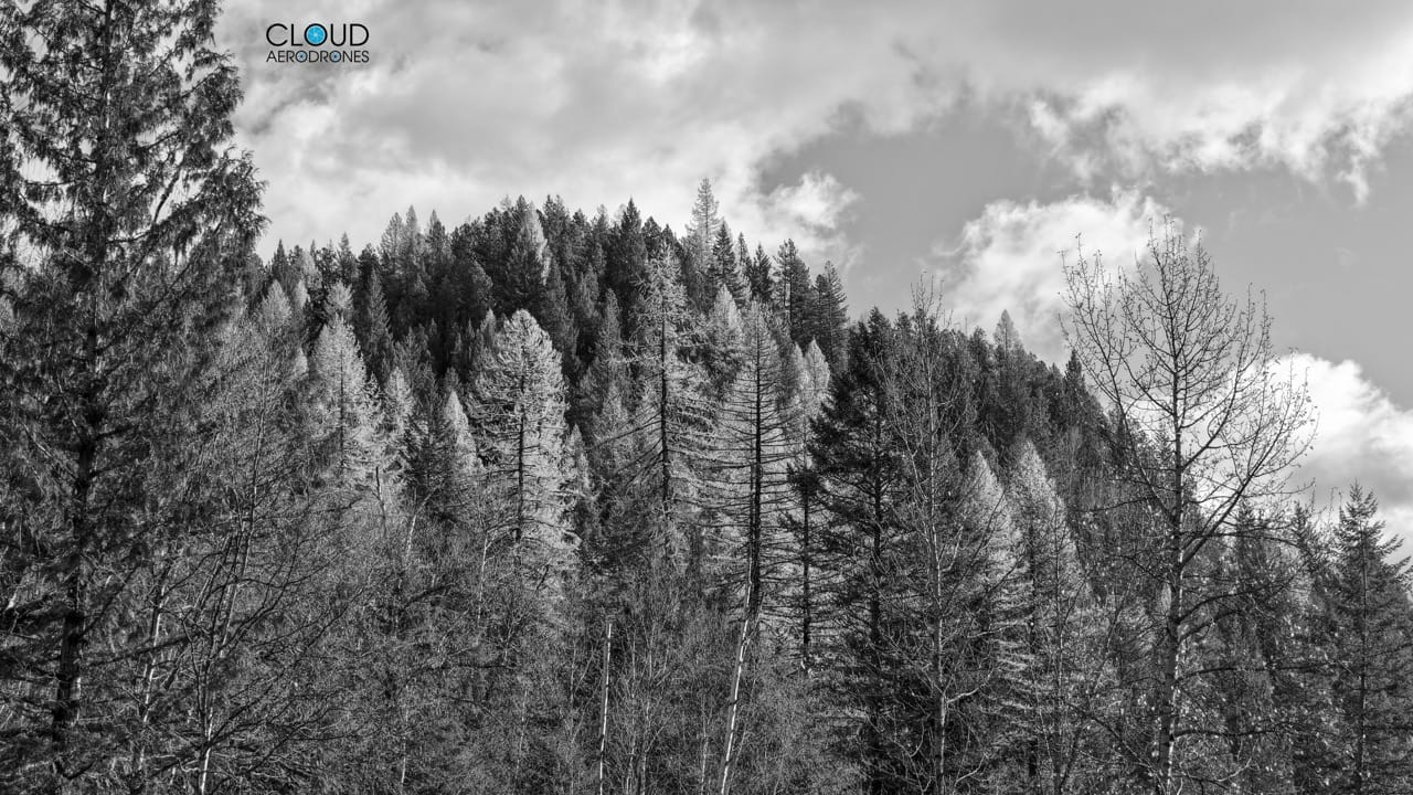
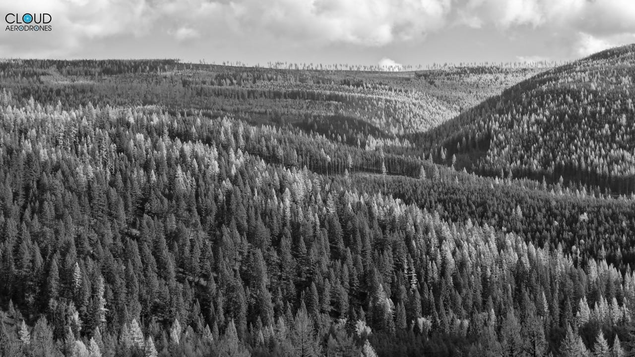
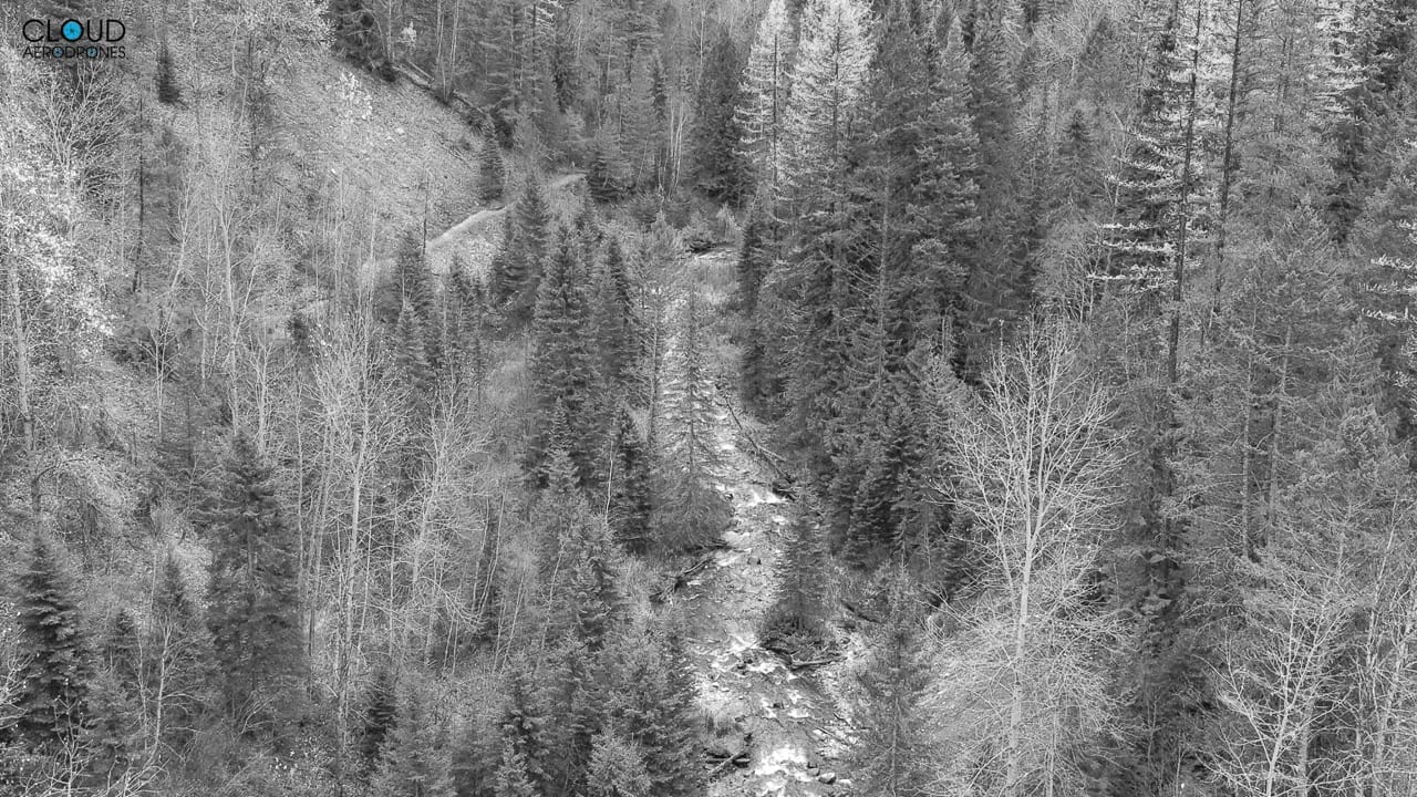
Cloud AeroDrones Our drone services can be used to quickly survey the landscape; a stretch of coastline or river, for example, and be used to capture changes in vegetation and physical landscapes over time.
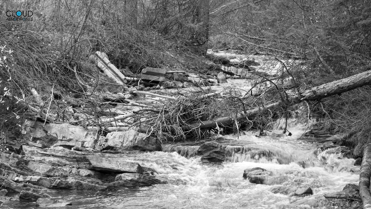
In dynamic natural systems, such as eroding cliffs, rivers and estuaries, repeated drone missions throughout a year (or over several years) can provide essential information on processes and pacing, helping to inform future management decisions.
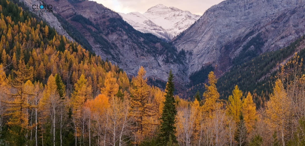
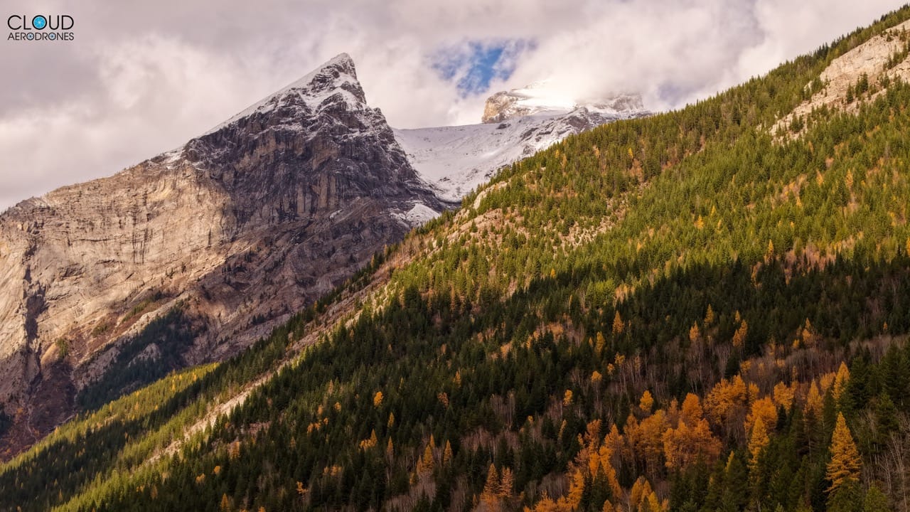
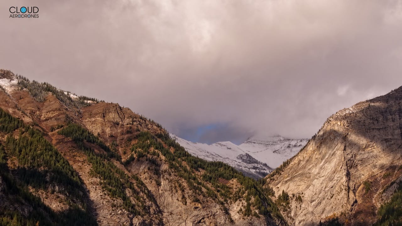
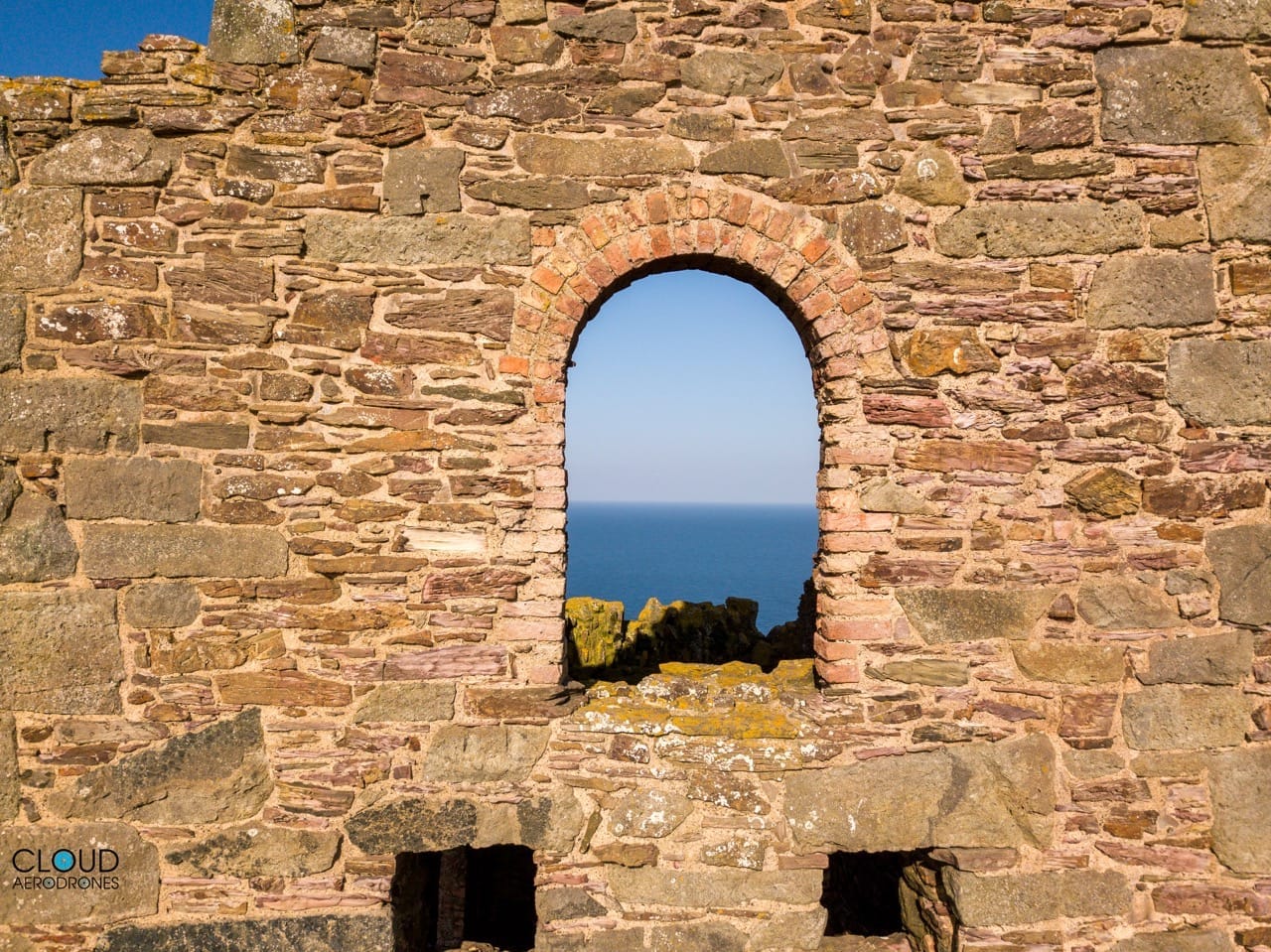
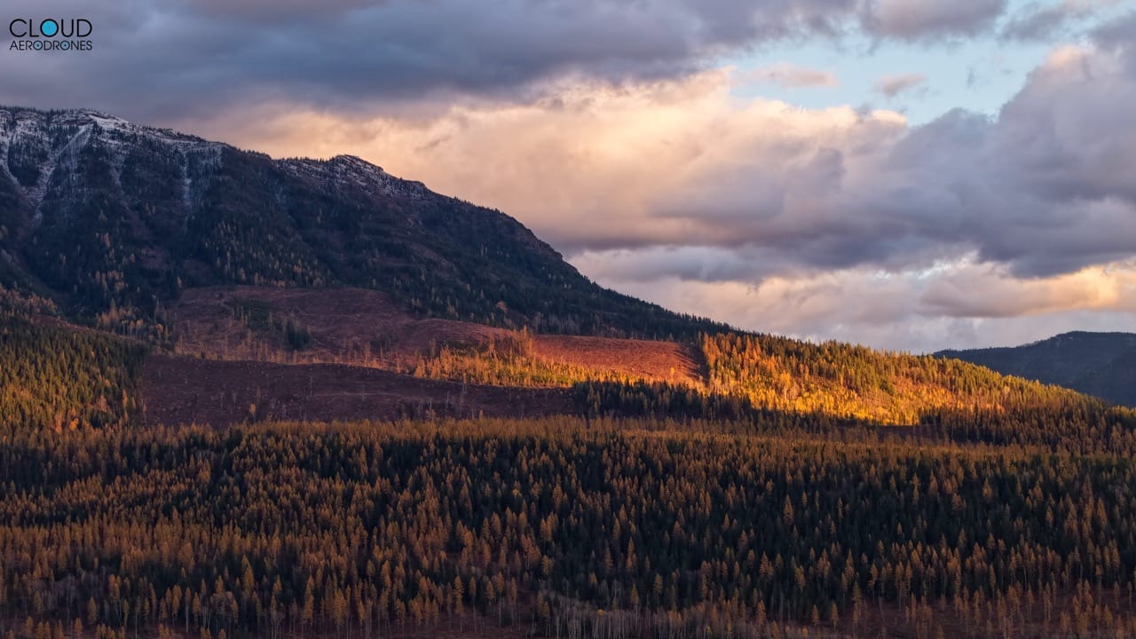
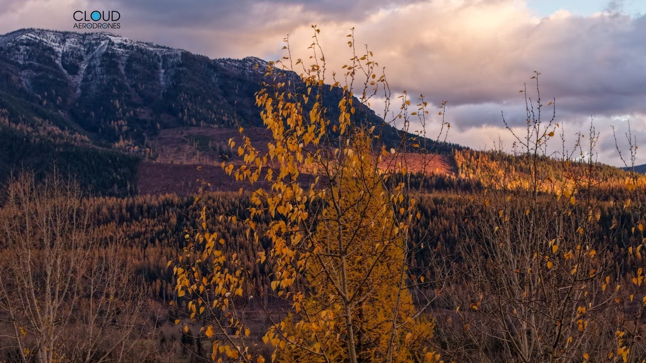
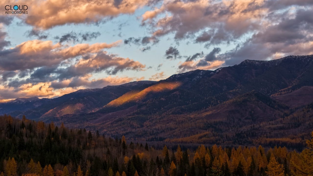
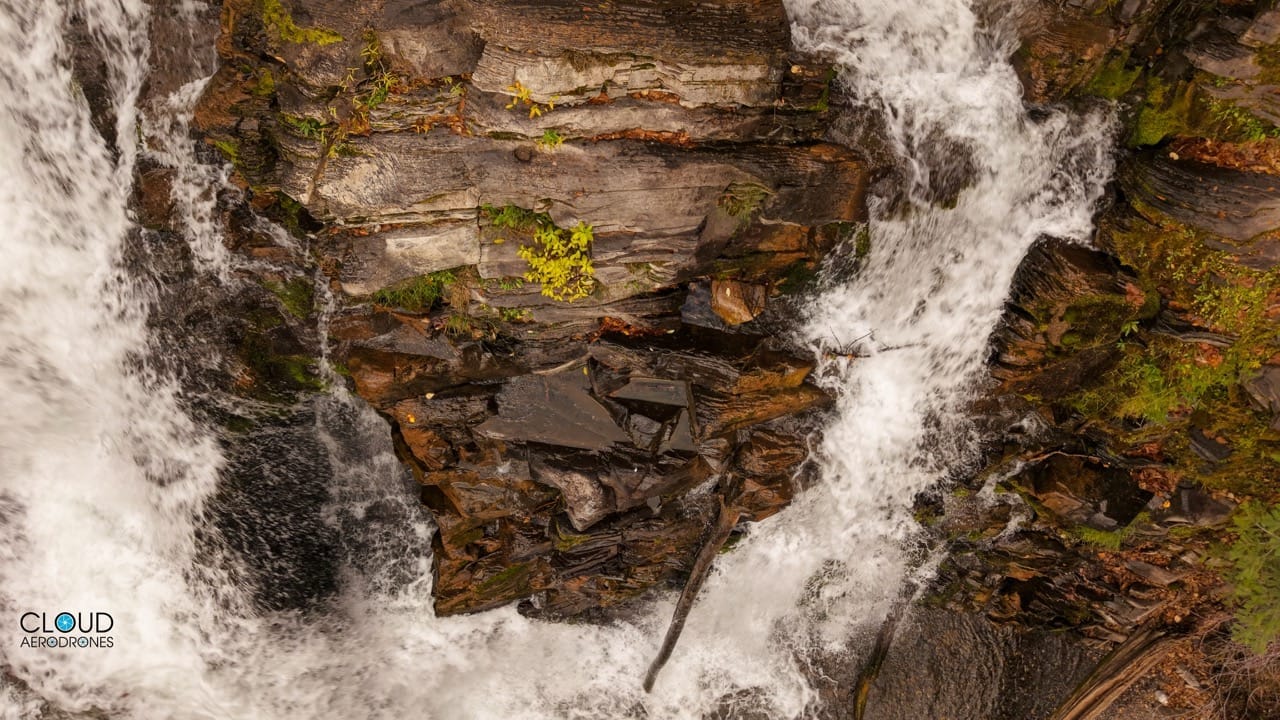
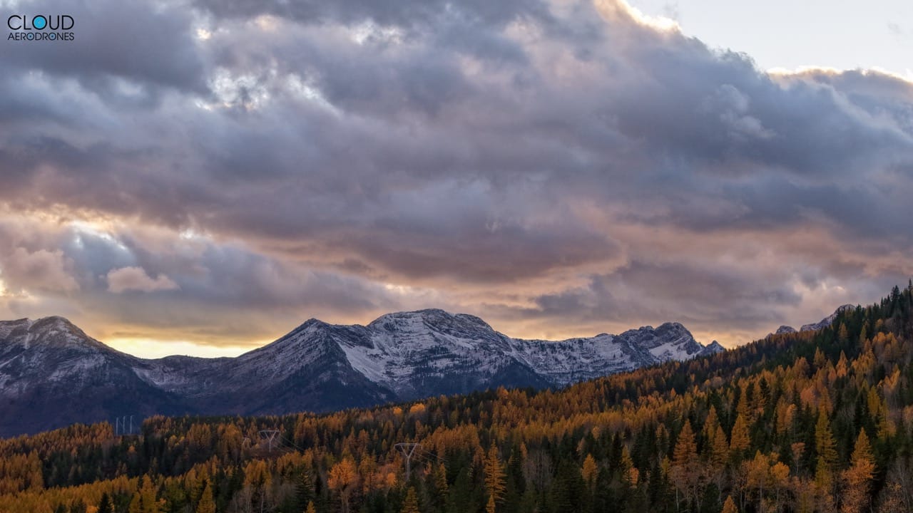
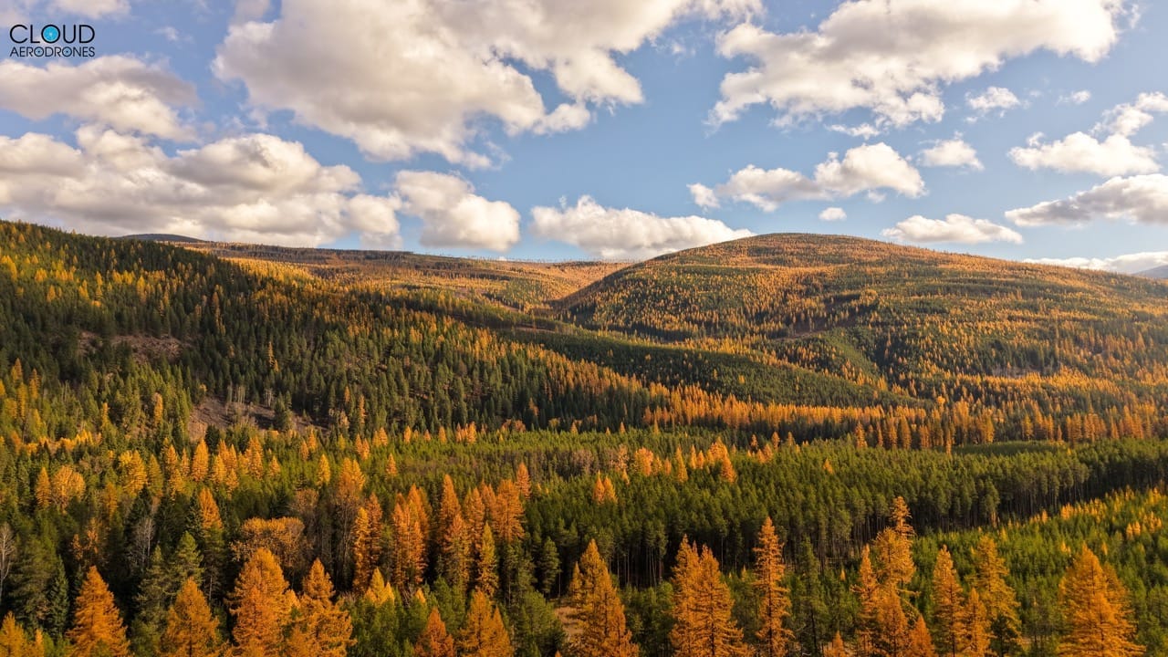
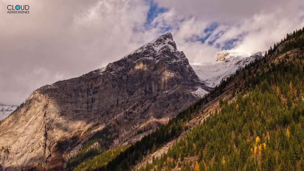
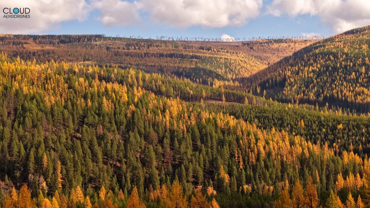
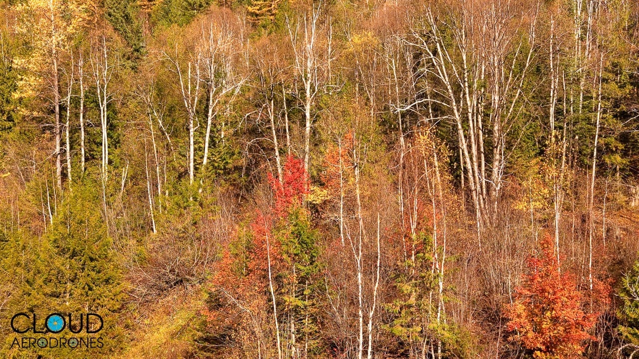
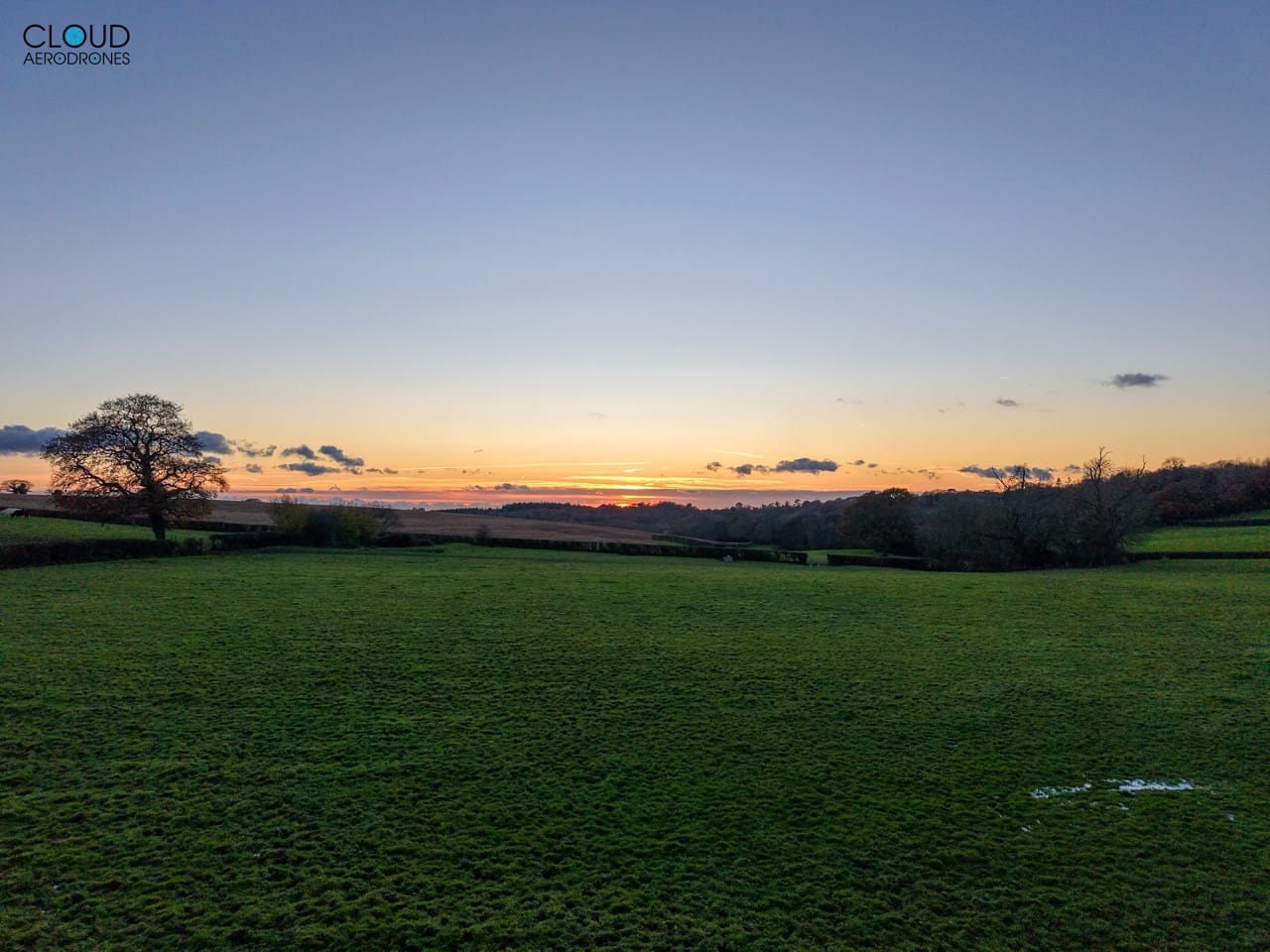
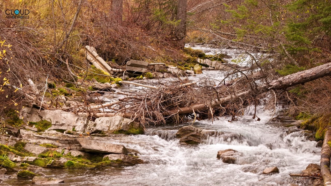
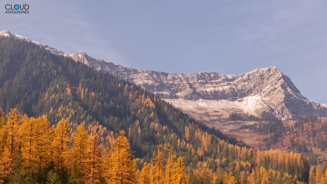
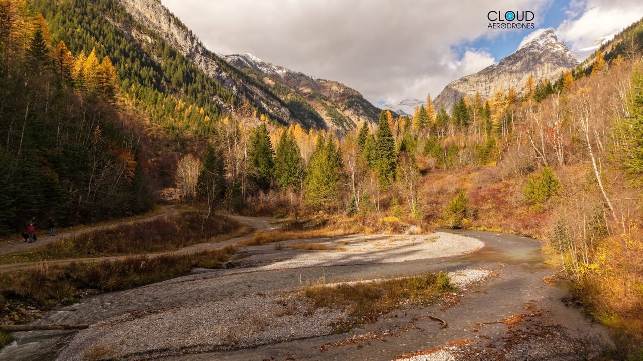
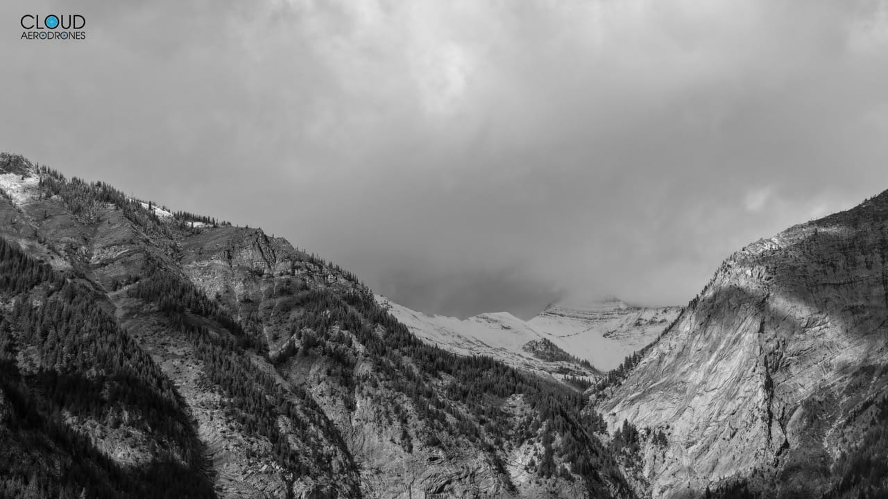
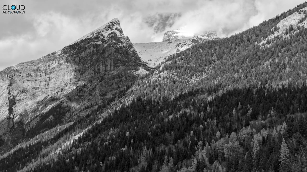
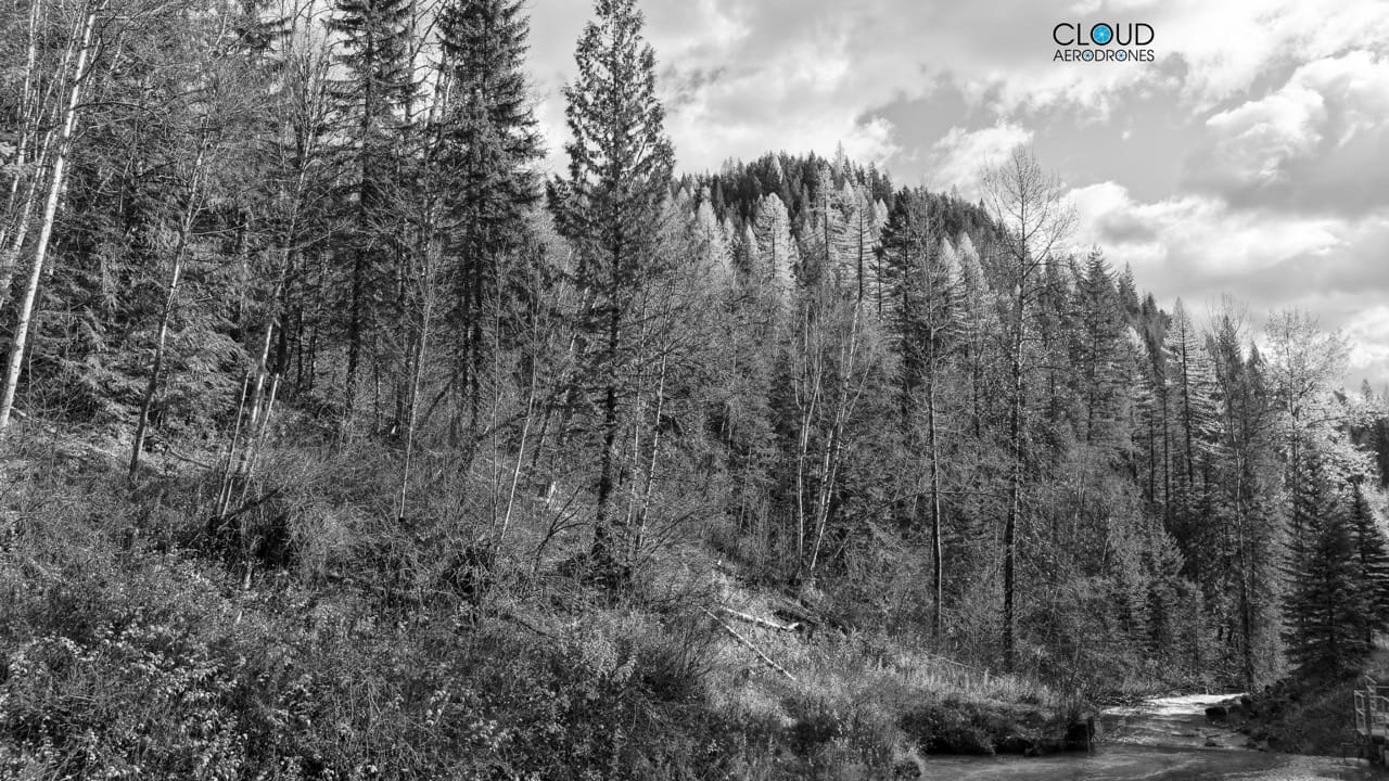
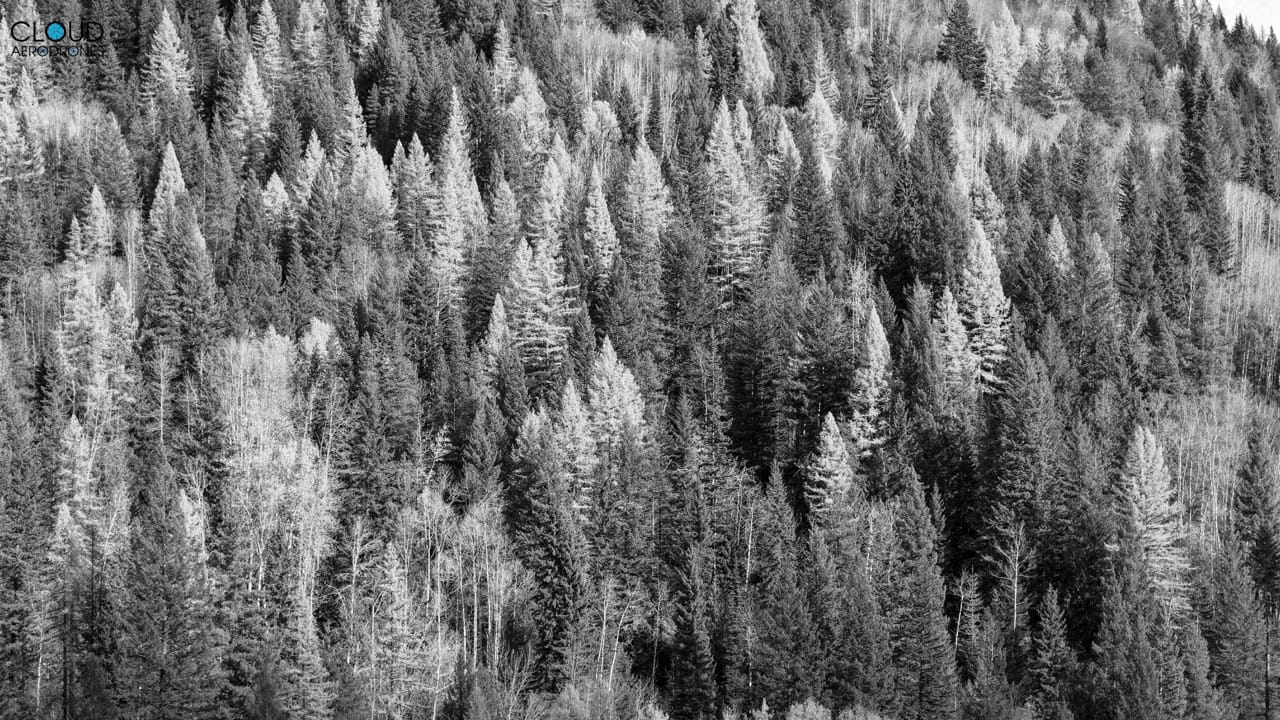
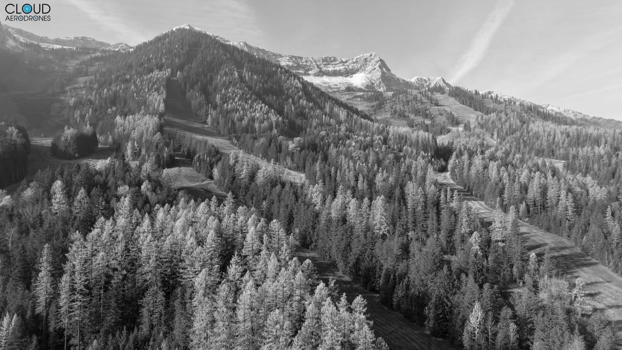
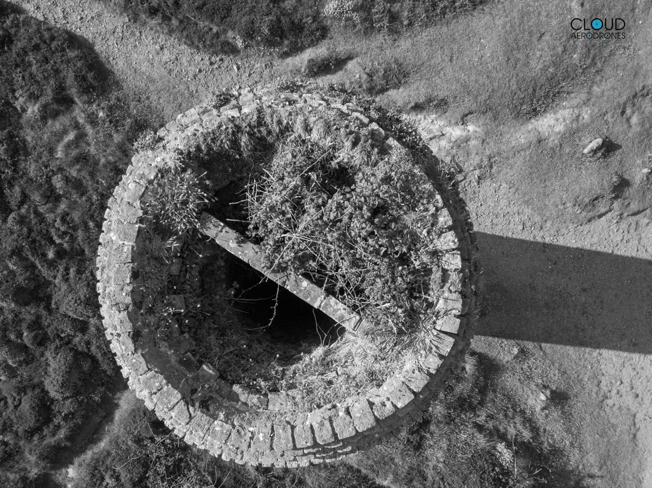
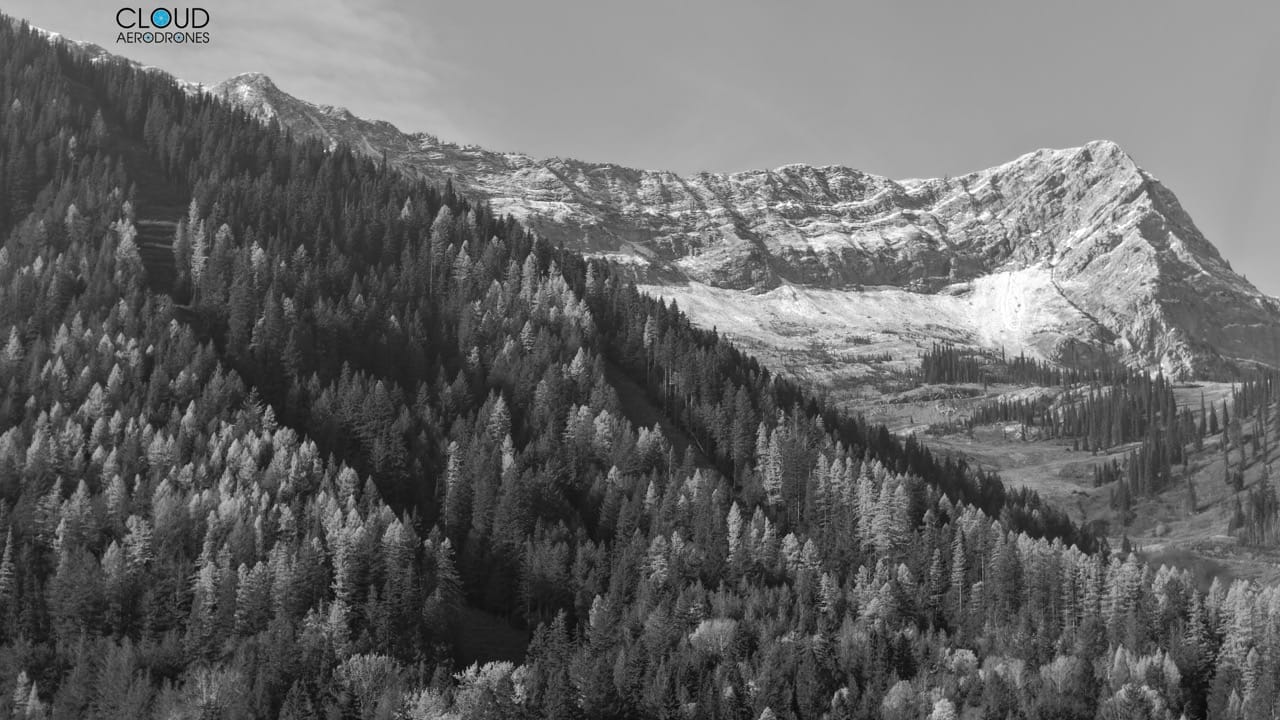
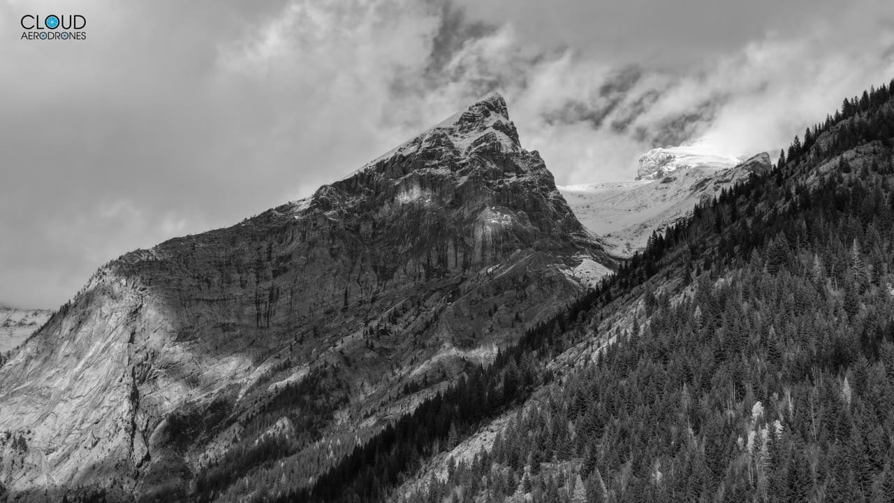
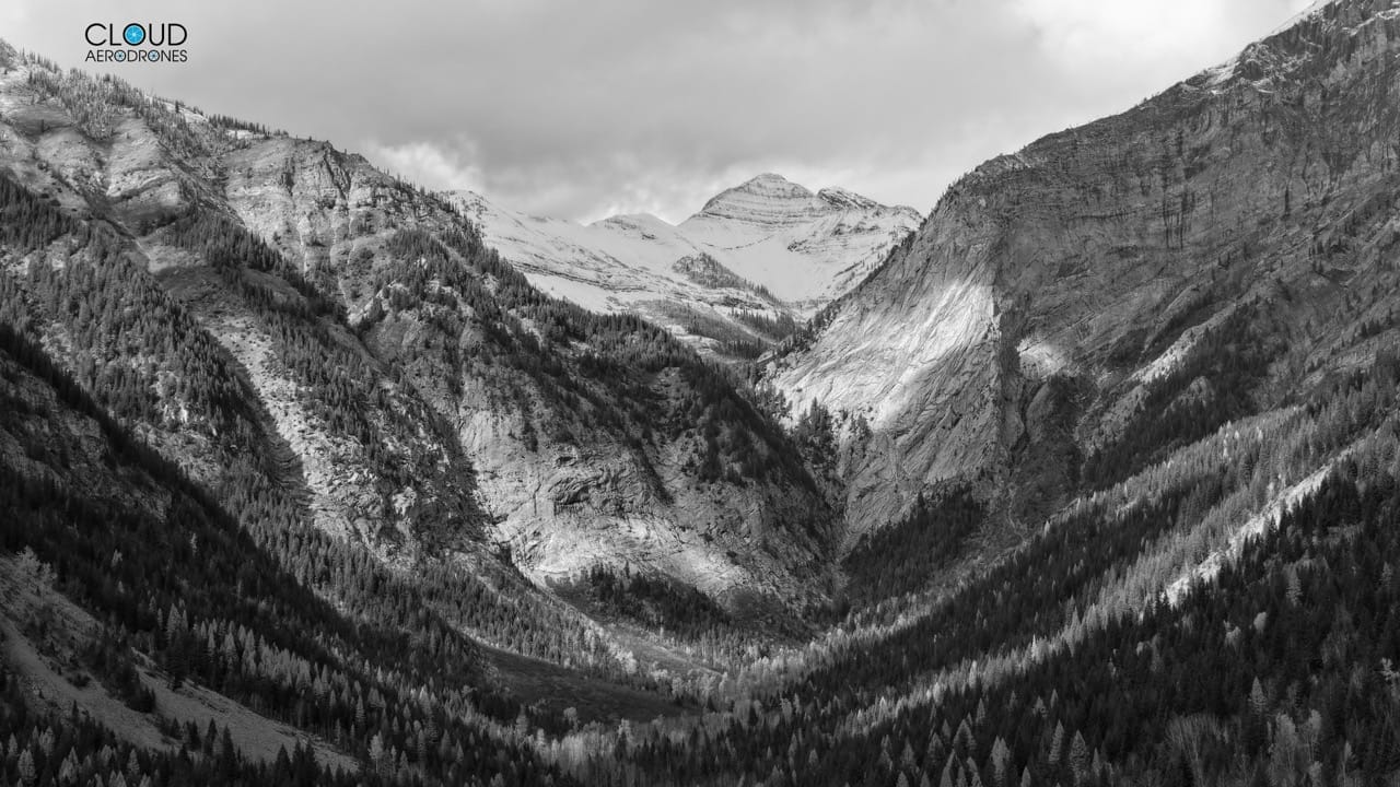
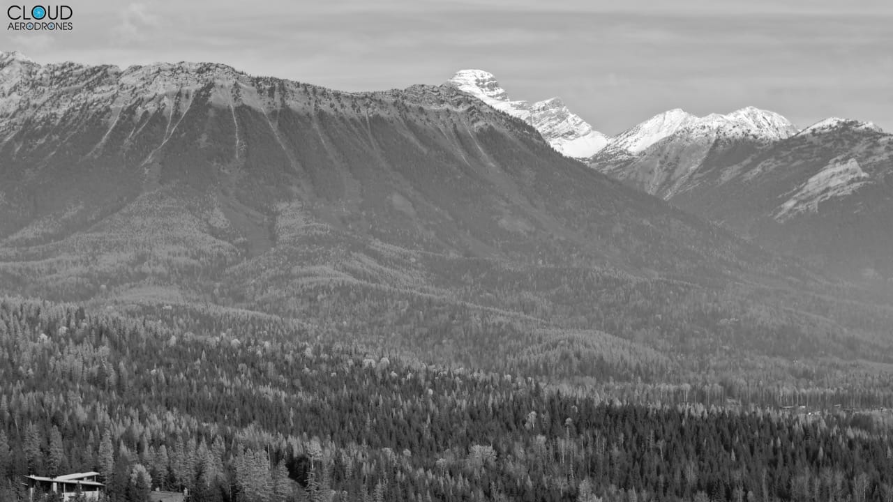
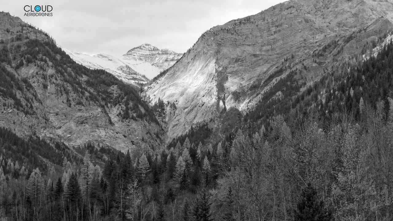
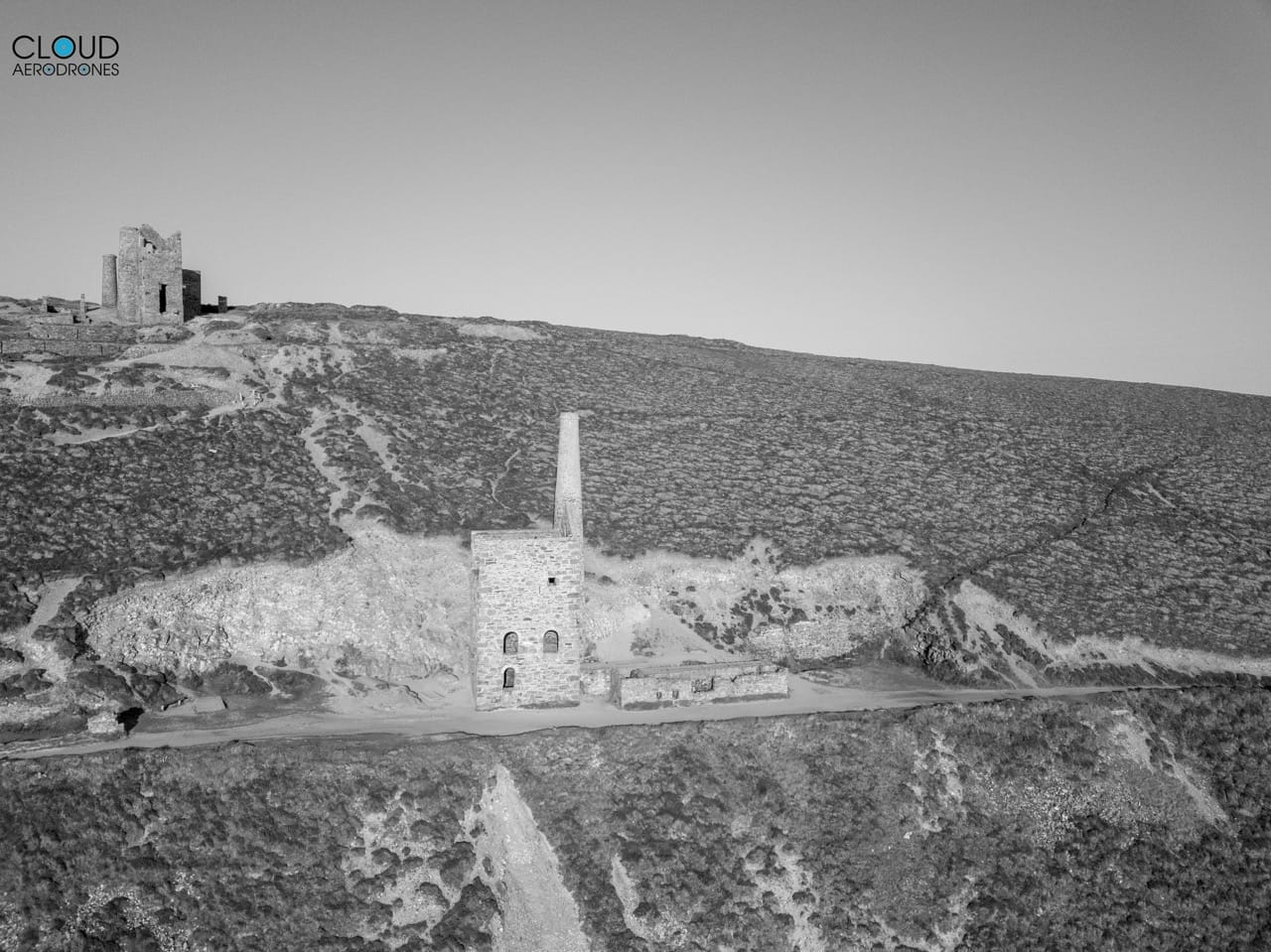
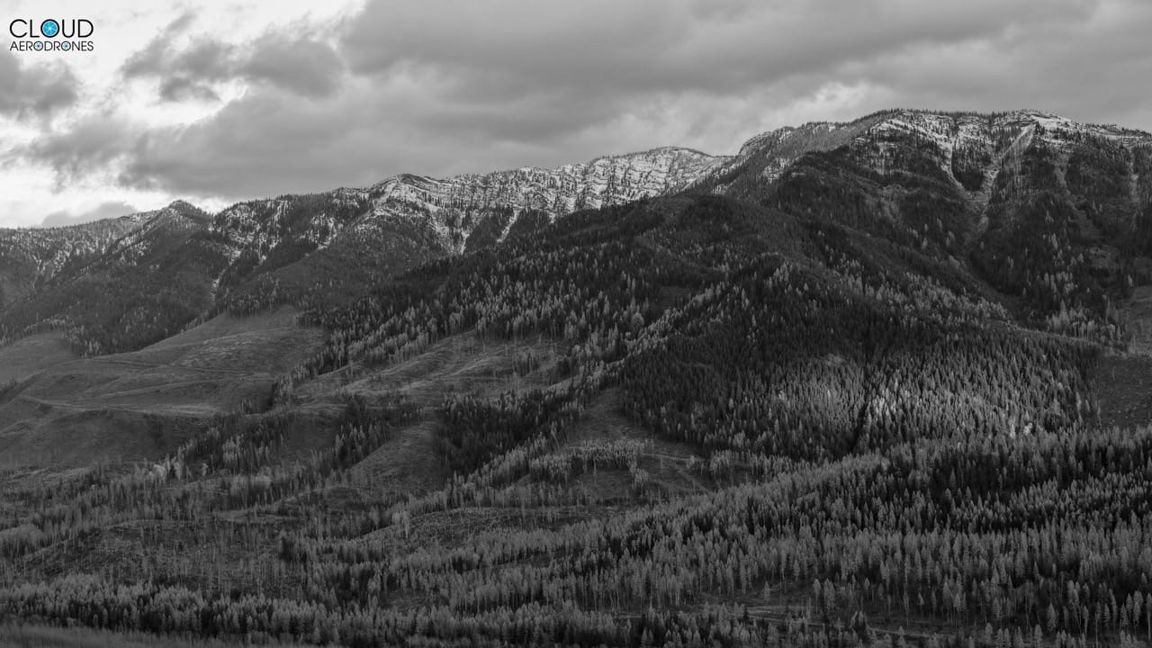
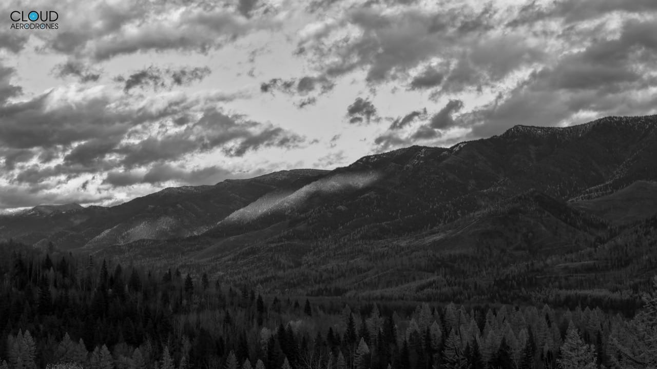
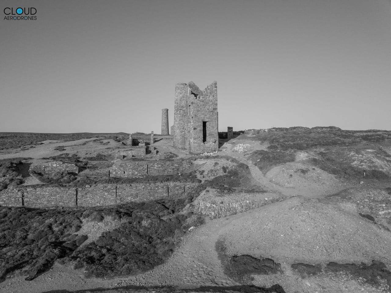
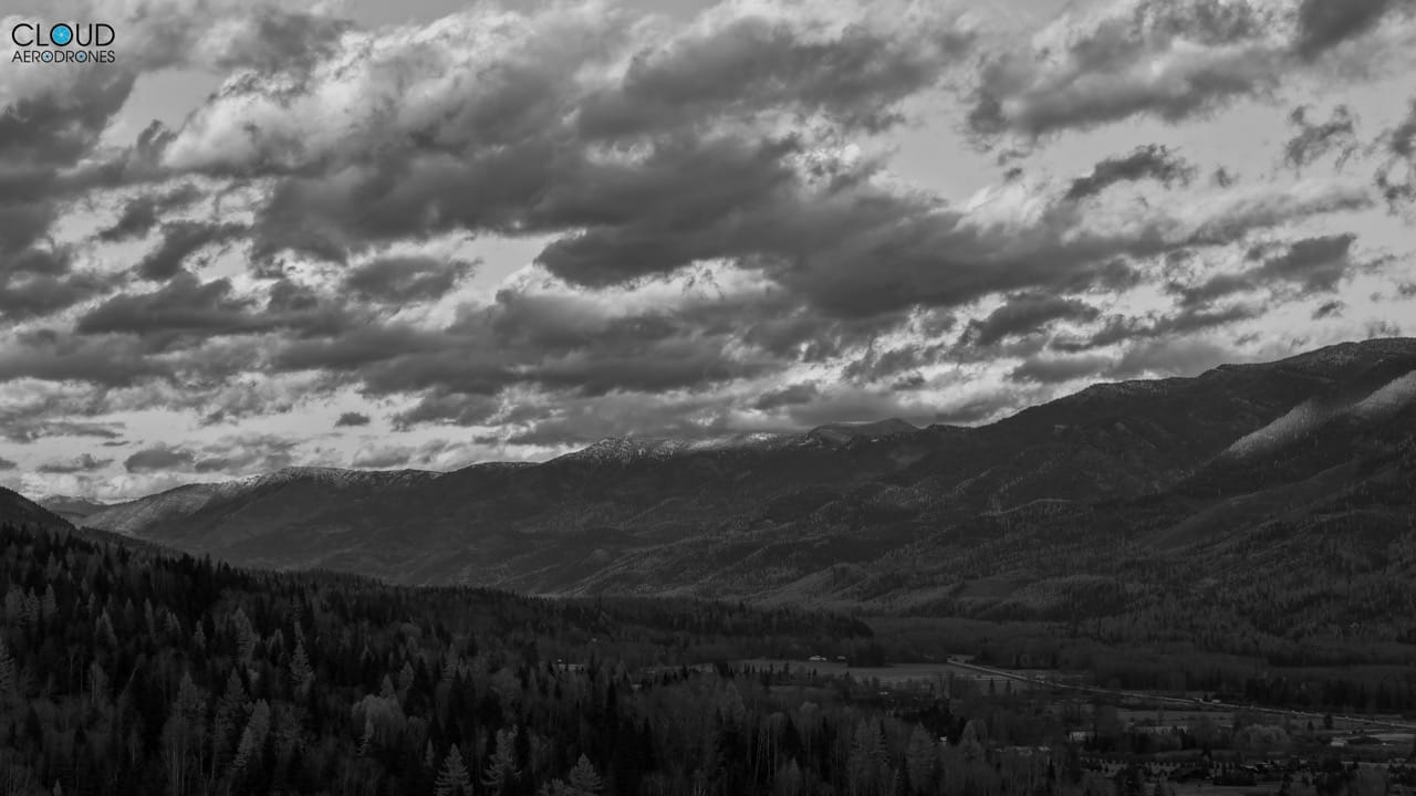
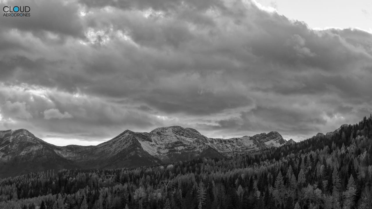
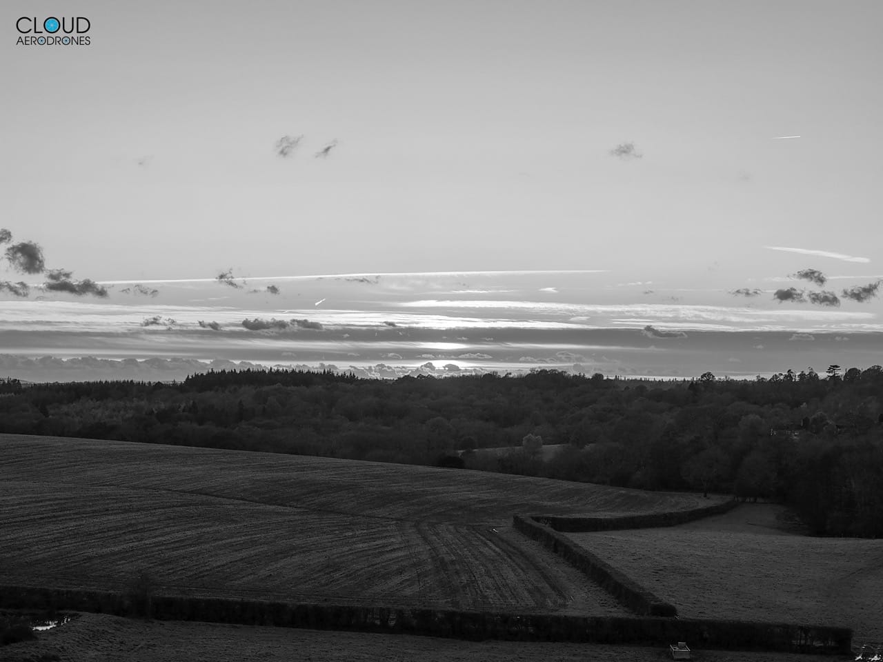
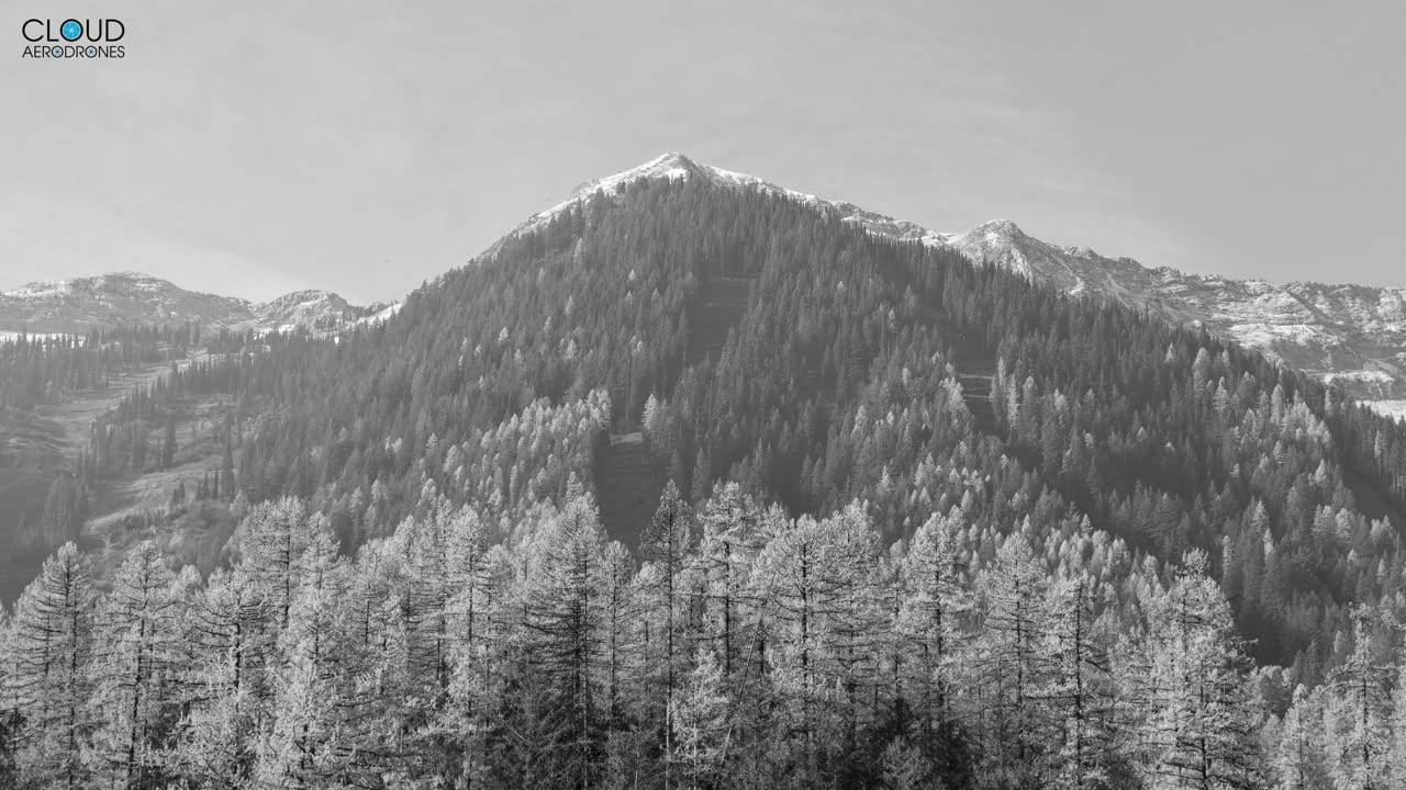
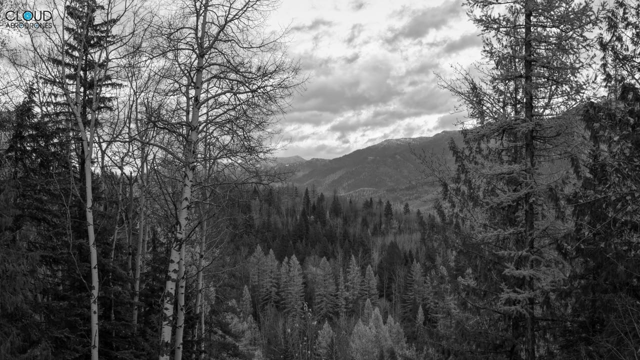
Additionally, our services can be used to capture photographs to help illustrate geographical landforms and processes, for use in study, and survey purposes, for example.
Based in Turners Hill, West Sussex our mission is to provide clients with captivating visuals that not only highlight the unique features of their businesses / projects but also engage customers and stakeholders.